Heaps in the Hałda On The Air 2025 Diploma Event
H-01 Hałda Kostuchna (339 m ASL)
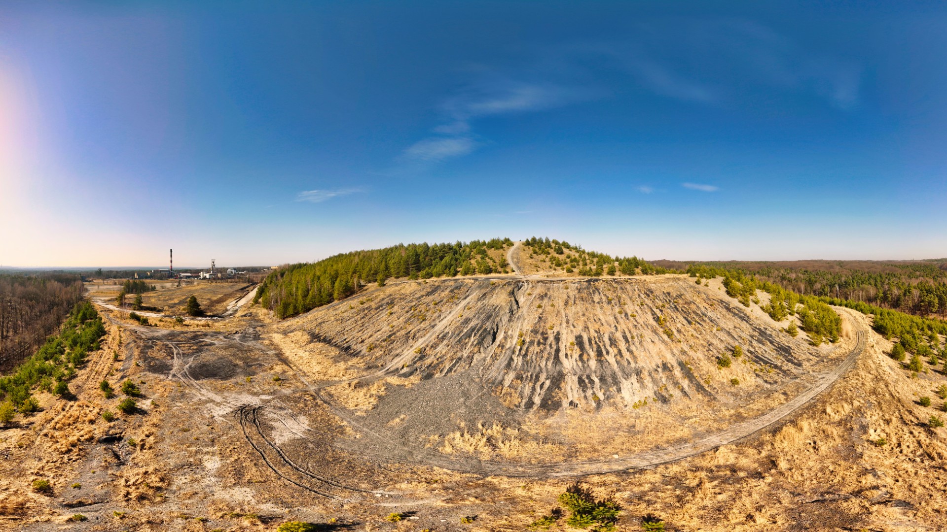
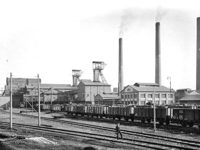
Kostuchna Heap is one of the highest elevations in Katowice, formed as a result of decades of mining activity. Its history dates back to the early 20th century when mining waste from the „Prinzengrube” - “Książątko” mine (later known as “Boże Dary”) began to be deposited here. Today, this area belongs to KWK Murcki-Staszic. Over the years, the heap gradually grew, reaching a height of 339 m above sea level.
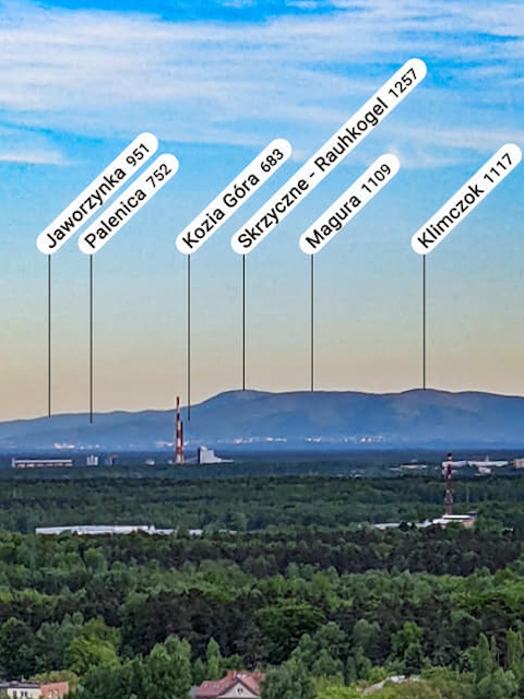
Although initially used solely as a waste disposal site, it has undergone significant changes over time. After a fire in 2016, reclamation work was carried out to reduce the risk of self-ignition and dust emissions. Additionally, vegetation was introduced on the slopes, and a viewpoint was created at the top, offering a panorama that, under favorable conditions, extends as far as the Beskidy Mountains.


The heap has also served as a film location – it appeared in the film "The Mill and the Cross" directed by Lech Majewski, providing a raw and unique scenery.

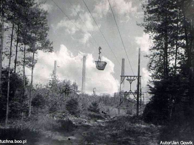
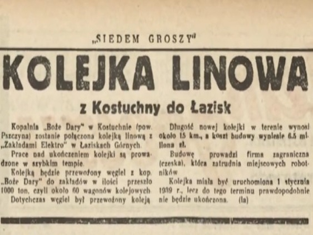
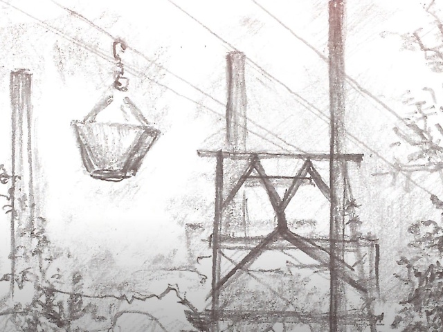
For many years, the area was also home to the Luftbana – a cableway completed in 1939, which transported coal from the Boże Dary mine to the Łaziska power plant. This was an extremely cost-effective alternative to traditional rail transport, reducing transport expenses by up to seven times. The route was 16 kilometers long and consisted of approximately 340 gondolas. After more than two decades of operation, the Luftbana was eventually closed in 1966, and remnants of it can still be found in the surrounding forests.
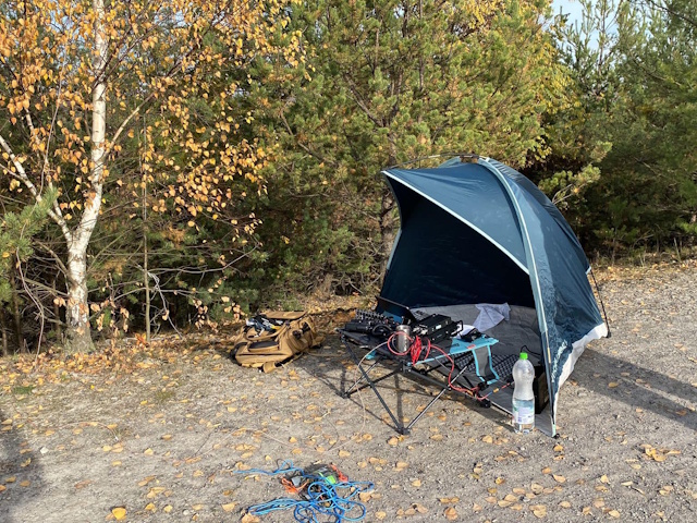
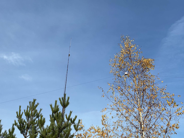
Heap Kostuchna has become a unique place not only because of its history but also due to its radio activity. It was here last year that a record number of QSOs was achieved, with operators making over 200 contacts on the 40m, 20m, and 2m bands. This was the most successful ham radio activation in the diploma action under the callsign HF24HOTA.
H-02 Hałda Murcki (309 m ASL)
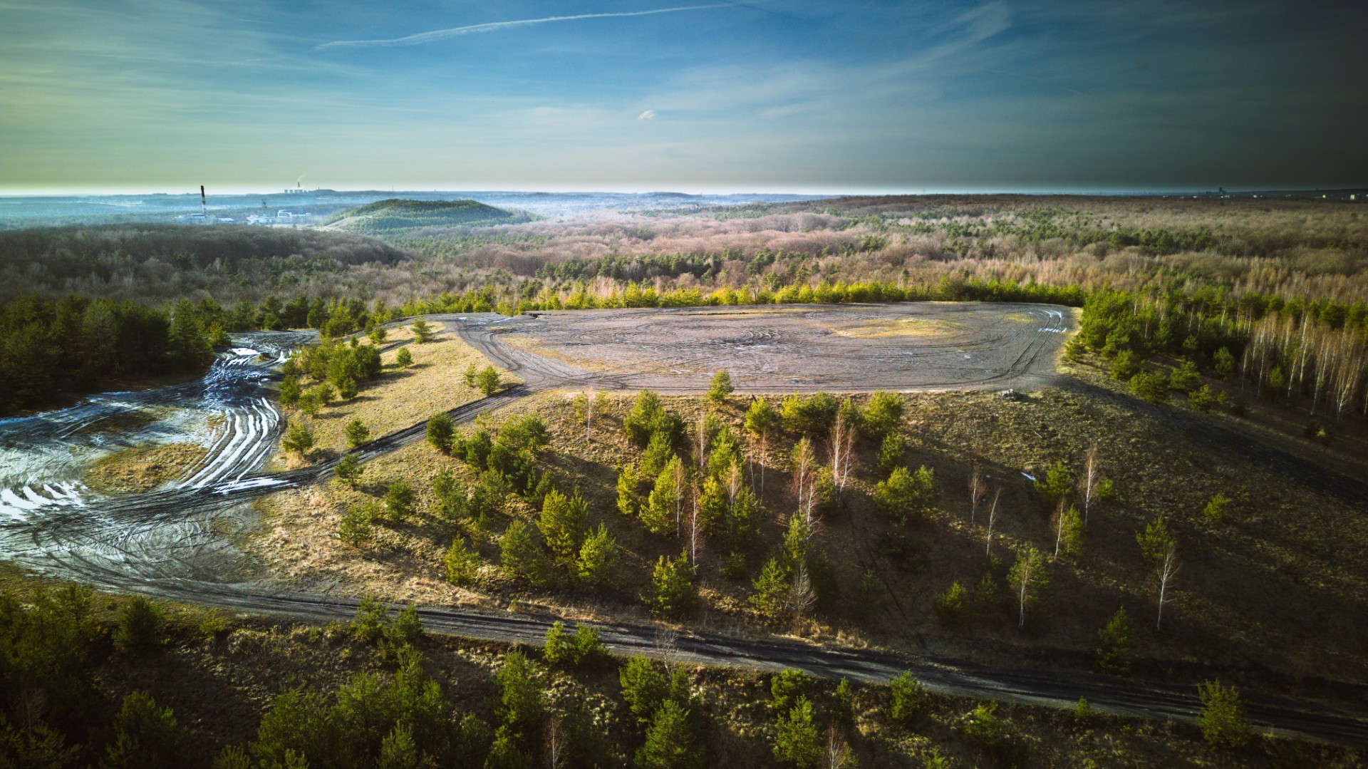
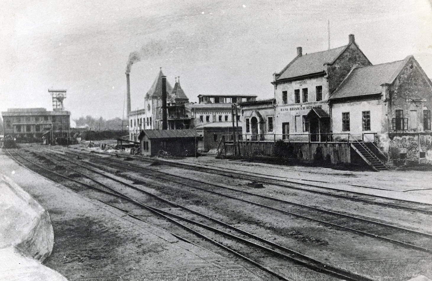
Hałda Murckowska is one of the most distinctive elevations in Katowice, located in the Murcki district. It was formed as a result of many years of mining activity associated with Murcki Coal Mine, whose history dates back to 1769. Over the centuries, the mine developed, undergoing numerous ownership and technological changes. The extracted coal required sorting, and the unwanted waste material was systematically deposited, gradually creating an impressive spoil heap that reached a height of 330 meters above sea level.
Today, surrounded by the vast Murckowski Forests, the spoil heap serves as an excellent viewpoint. On clear days, it offers views of the Beskidy Mountains and even the distant Tatra Mountains, located approximately 140 km away. The panorama extends over numerous cities, including Tychy, Lędziny, Bielsko-Biała, and Oświęcim, as well as parts of the Małopolskie and Opolskie regions. Under favorable conditions, one can also see Jura Krakowsko-Częstochowska, Góra Świętej Anny, and even Pradziad in the Eastern Sudetes. The northern view is partially obstructed by Wanda Hill, the highest natural elevation in Katowice.
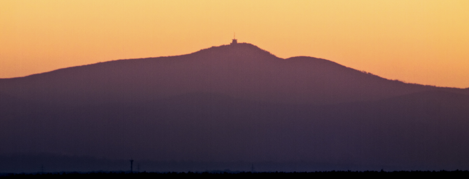
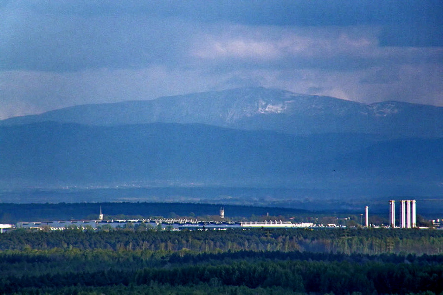
In 2010, a wooden cross was placed at the top of the spoil heap to commemorate the Way of the Cross through the city streets. It is a recognizable landmark visible from many locations in the area.
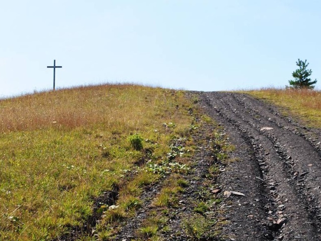
While exploring the surroundings of the spoil heap, one can find remnants of former mining operations, including infrastructure related to KWK Murcki. In the past, this area housed several mining shafts, some of which have since been dismantled, but traces of past structures remain visible. Hałda Murckowska and the nearby Hałda Kostuchna are popular destinations for hiking and cycling. The trail leading through the Murckowski Forests between these two spoil heaps is particularly picturesque, especially in autumn, when the trees turn golden and orange.
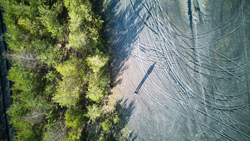
The formation of the spoil heap is closely tied to the development of mining in this part of Upper Silesia. Murcki Coal Mine, established in the late 18th century, was for many years one of the oldest operating coal mines in Europe. In the 19th century, it became part of the rapidly growing mining industry, and in the 20th century, it underwent numerous modernizations. The merger with the Staszic Mine led to the creation of KWK Staszic-Wujek, whose operations further contributed to the expansion of the spoil heap.
H-03 Hałda Skalny (389 m ASL)
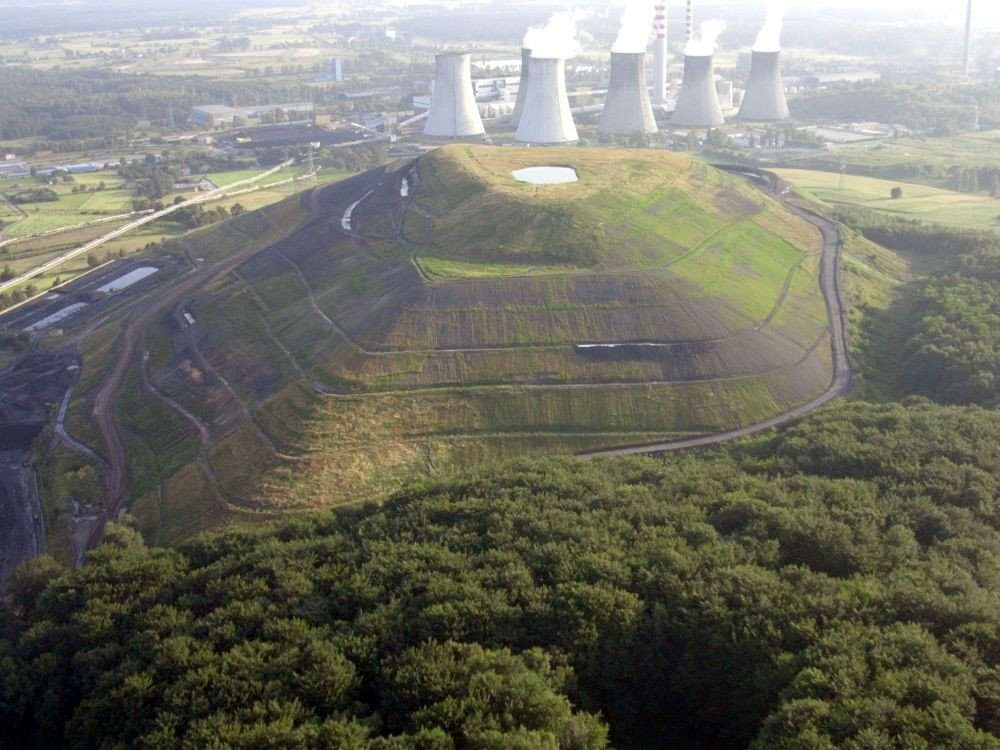
The Rock Heap in Laziska Górne is a relic of the region's industrial past. Although it was part of the local industrial landscape for many years, today it has gained new life as a place for walking and recreation.
H-04 Hałda Marta Waleska (320 m ASL)
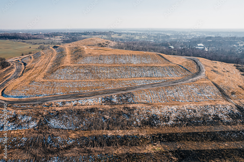
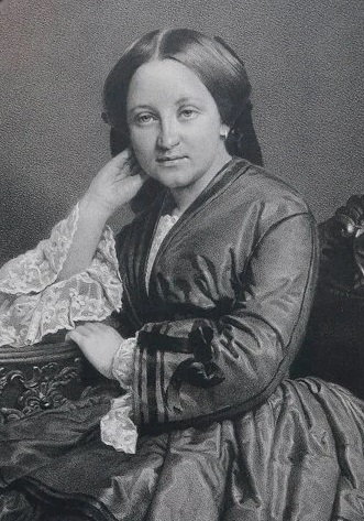
The Marta Waleska spoil heap was formed on the site of the former coal mine “Martha Valeska”, whose origins date back to 1835. The mine was launched by Franz Winckler – owner of vast estates in Upper Silesia, including the areas around Katowice, Mysłowice, and Orzesze. The mine's name comes from the names of his daughters: Marta and Waleska – combined to create the name of the mining field and later the facility itself. Waleska von Thiele-Winckler, who managed the mine after her father's death, played a key role in the industrial development of the region.
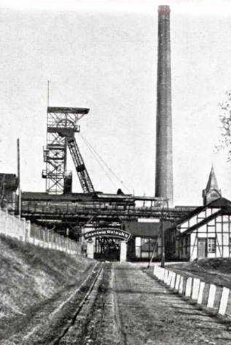
The current spoil heap began to be formed in 1994 over an area of 18 hectares. Today, it reaches an elevation of about 320 metres above sea level and has become a distinctive feature of the local landscape. From the top, there is a panoramic view of Łaziska Dolne, Średnie, and the surrounding areas. On clear days, one can even see the Silesian and Żywiec Beskids. The panorama is especially impressive after dusk – the city lights create an almost fairy-tale-like scene.
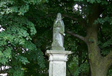
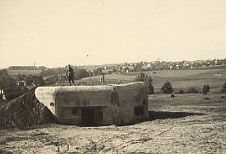
Next to the heap lies St. John’s Hill – a hill rising to 350 metres above sea level, topped with a small chapel and a statue of St. John the Evangelist. This place once served as a landmark along old trade routes. Nearby, one can also find remnants of fortifications from the "Silesia" Defensive Region, recalling the area's military past.
The Marta Waleska spoil heap, although young compared to other Silesian elevations, quickly gained recognition as a place for walking, observation, and relaxation. It stands as a symbol of Silesia’s industrial heritage and a successful example of post-mining land revitalization. The Hołda Run event, a local sports competition, gathers both young and adult runners.

H-05 Hałda Sośnica (244 m ASL)
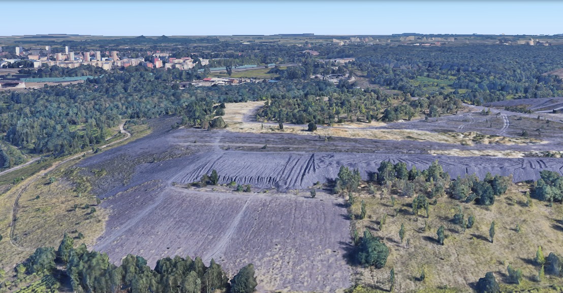
The Sośnica heap in Gliwice is one of the places testifying to the industrial history of Silesia. Although the area has been associated with coal mining for years, it is now one of the sites associated with environmental protection and environmental education.
H-06 Hałda Makoszowy (270 m ASL)
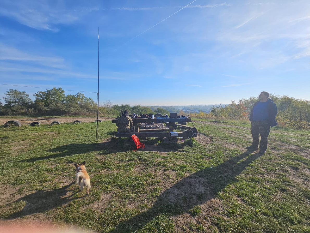
The Makoszowy heap in Zabrze is a place that for many years was associated with the coal industry. Today, it is an area that is part of a post-industrial area and a place for industrial tourism enthusiasts.
H-07 Hałda Ziemowit (310 m ASL)
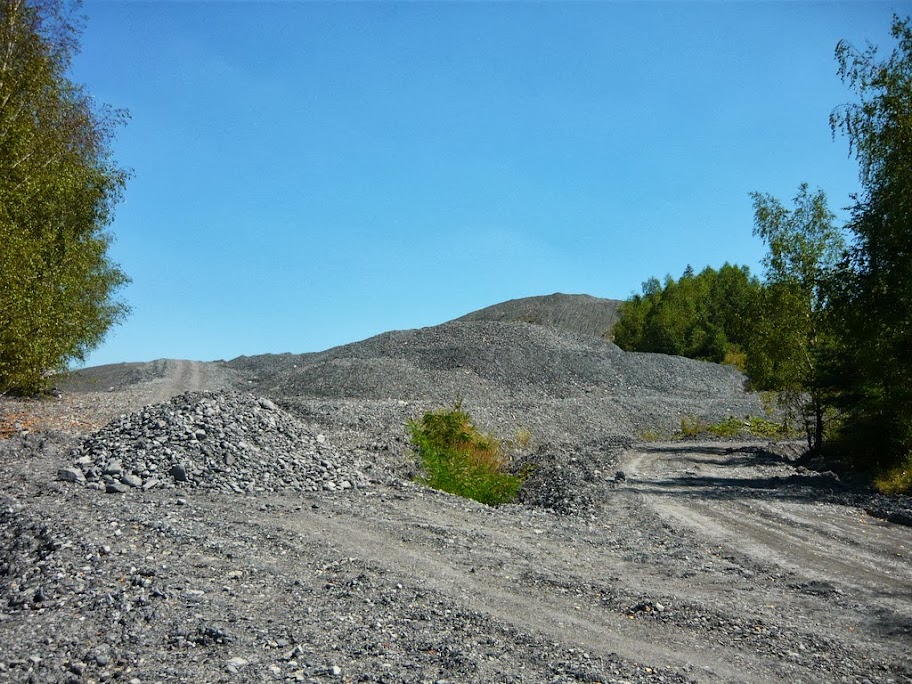
The Ziemowit Coal Mine heap in Lędziny is an area associated with the coal industry in the region. Today, the heap has become one of the points associated with environmental education and local industrial tourism.
H-08 Hałda Paciorkowce (261 m ASL)
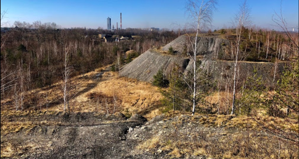
Bieruń's Hałdy Paciorkowce is a complex of four small hills shaped like truncated cones, heaped up from waste rock extracted with coal from the Piast mine, whose arrangement resembles beads - hence their name.
H-09 Hałda Bielszowice nad Kłodnicą (249 m ASL)
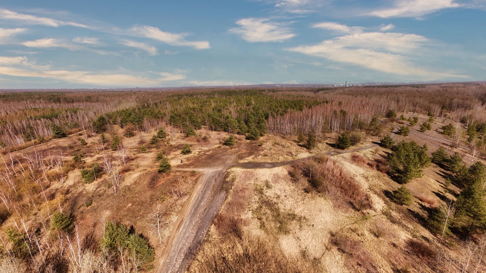
The heap of the Bielszowice coal mine is located on the Klodnica River and is one of the visible elements of the landscape of Ruda Slaska. The Bielszowice Coal Mine in Ruda Śląska was founded in 1896. It currently operates as part of the “Ruda” Coal Mine.
H-10 Hałda KWK Gliwice – Ostropa (281 m ASL)
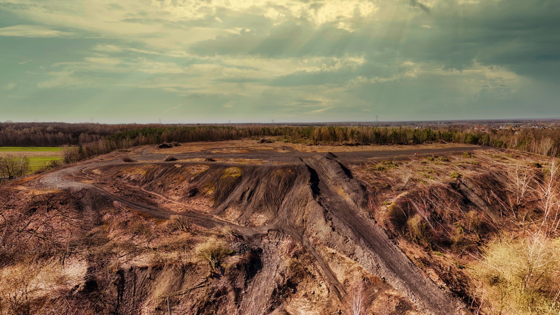
The heap of the Gliwice - Ostropa coal mine, associated with the operations of the Gliwice coal mine, was formed as a result of coal mining in the area of the Ostropa shaft. The mine was founded in 1901, and the heap is located in the Ostropa district of Gliwice
H-11 Hałda Rozbark (294 m ASL)
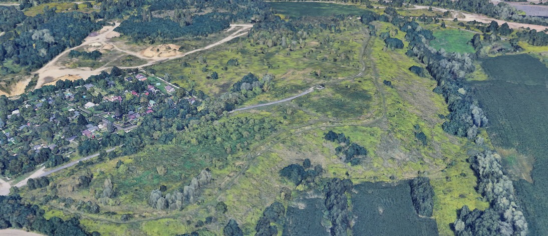
The Rozbark Heap in Bytom is a remnant of the Rozbark Coal Mine, which was established in 1870 and operated until 2004, when mining ceased. The heap, is located in the northeastern part of Bytom. Nowadays, plant succession in the area is turning the heap into a place of natural character, with Family Allotment Gardens in the immediate vicinity.
H-12 Hałda Popłuczkowa (328 m ASL)
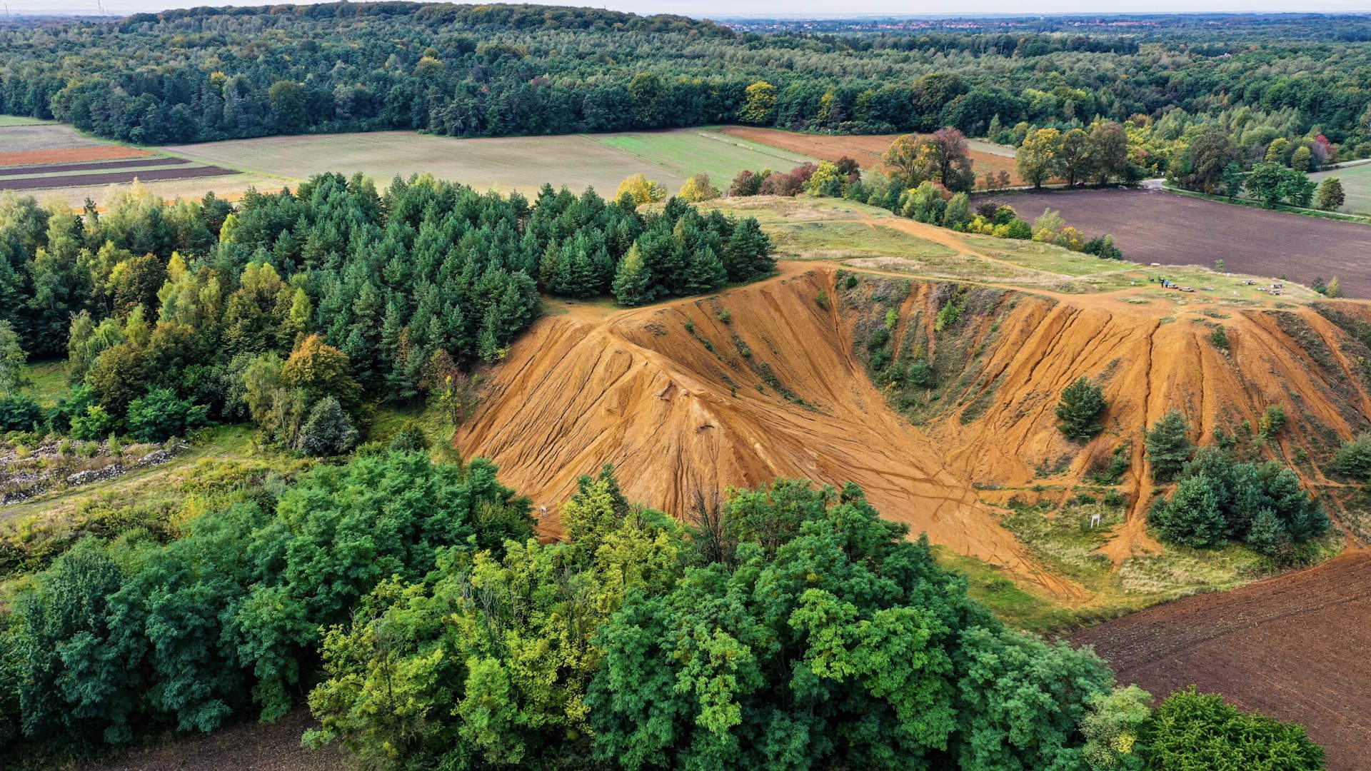
The Tarnów Mountains tailings pile was created as a result of the accumulation of dolomite waste during intensive mining of lead, silver and zinc ores at the Royal Frederick Mine (German: Königliche Friedrichsgrube) in Bobrowniki, now part of Tarnowskie Góry. Created between 1840 and 1912 at the processing plant, it is a testament to the industrial history of the region. Today it serves a recreational function, offering walking paths and viewpoints, and is part of the protected Cultural Park “Hałda Popłuczkowa”.
H-13 Hałda Powstańców Śląskich (288 m ASL)
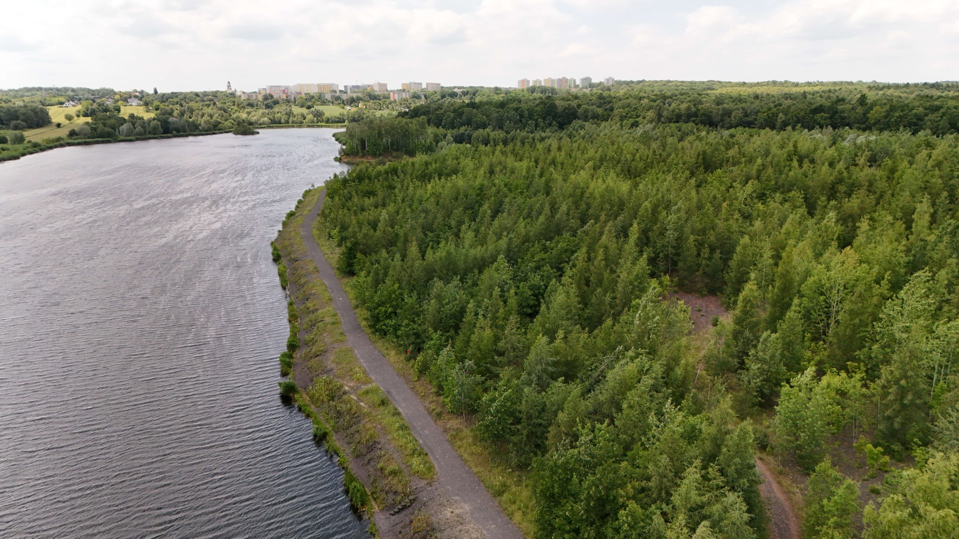
The heap at the Powstańców Śląskich Coal Mine in Bytom was created as a result of the mine, which was established in 1975 by merging the Bytom and Radzionków mines. After the end of mining in 2001, the heap site is subject to natural succession. The site is located in the immediate vicinity of the Brantka pond, which is popular among anglers.
H-14 Hałda Ruda (266 m ASL)
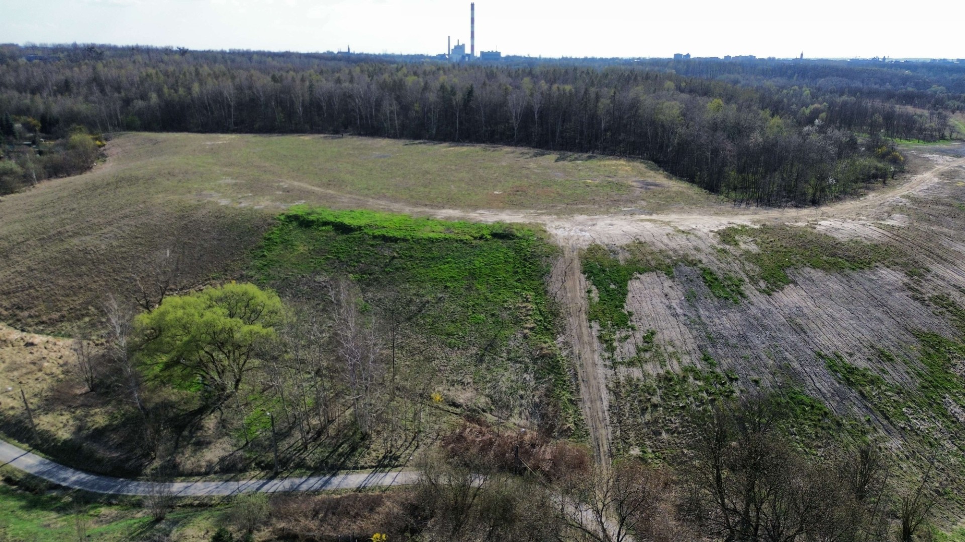
The “Ore” heap is a post-mining dump in Zabrze-Biskupice. For many years it has been a problem for Biskupice residents, despite this it is the site of many walks by local residents.
H-15 Hałda Góra Kamieńsk (405 m ASL)
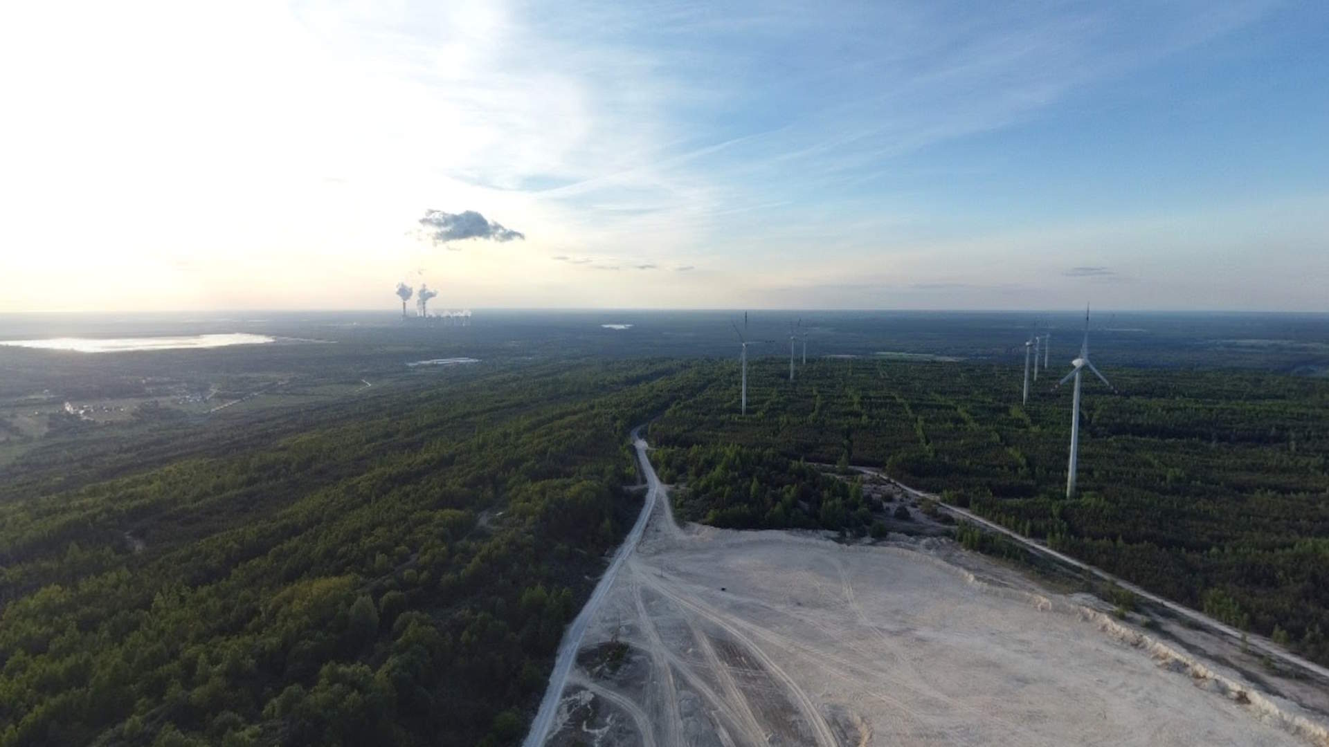
Kamieńsk Mountain is an artificial hill created on the spoil heap of the Bełchatów lignite open-pit mine, reaching 405 m above sea level, and is the highest point in the Łódź Voivodeship. It is a popular spot for hiking, extreme sports, and landscape observation.